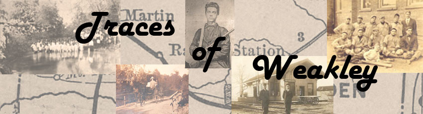

Maps courtesy of Tennessee State Library and Archives, Nashville. Section numbering added.
Map on left taken from Map 396 Section #6. Map on right taken from Survey by Matthew Rhea.
Another draft of the map which contains additional details can be see here.
A 5 x 5 mile square encompasses a total of 16,000 acres (80 chains per mile x 5 miles = 400 chains; 400 x 400 chains = 160,000 square chains; divided by 10 square chains per acre = 16,000 acres). The above graph is somewhat simplified, in that the ranges within these districts do not run perfectly north/south. As explained in www.tngenweb.org/tnland/survdist.htm:
"The sections and range lines in the area that had been the Congressional Reservation were to be surveyed five miles apart so as to create sections or townships that were five miles square... The 7th and 8th Districts ran their lines true to the meridian. The 9th through the 13th Districts seem to have run their lines slightly to the northeast by about 3.5 degrees. This anomaly may have been caused by the original District Surveyors using the then current inaccurate Tennessee-Mississippi State boundary line for their reference. That old State line, referred to as the Winchester line, was off by about 3.5 degrees to the northwest."
The establishment and modification of Weakley County's borders are described as follows:
"The county is 26 miles from north to south, and 24 miles east to west. Presently, it covers an area of 576 square miles... The following year [after the Jackson Purchase of 1818] the purchase area of Tennessee was divided into surveyor districts. Weakley County made up parts of the 12th and 13th districts... When the county was first organized in 1823 it was rectangular in shape and contained an area of over 700 square miles. The southern boundary was altered in 1837 in a land exchange with Gibson County. This was done so that settlers living on the land adjacent to the south fork of the Obion River could get to a county seat without having to cross the unbridged stream. The western boundary was changed in 1870 when the Obion County seat was transferred from Troy to Union City. At that time the state law required the county seats to be near the center of the county, thus the north-eastward relocation of the Obion County seat called for the northwestern boundary of Weakley County to be changed. The last change in Weakley County was in 1889 when J. W. Boyd and Company arranged for his business to be situated in Obion County instead of Weakley."